AIS , Automatic Identification System, is a system to send a ships location, speed and heading via VHF frequency 161.975Mhz and/or via 162.025 MHz.(channel A and B). Modulation: GMSK (Gaussian Minimum Shift Keying).
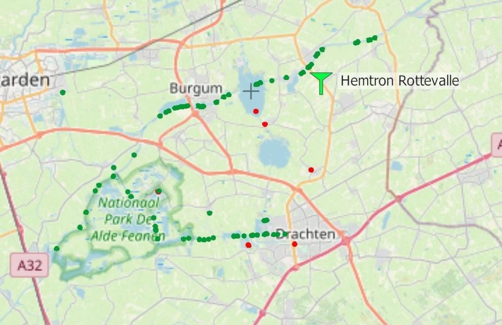
Range via VHF is ca 40km.
Other ships with an AIS transponder can be seen and be warned for e.g. collisions .
With a few, relative cheap electronic devices, its posible to receive ships with a AIS transponder and forward their location etc to the internet. E.g. to websites like MarineTrafic etc.
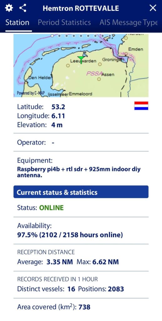
I bought the electronics and followed instructions on the internet to create such a gateway.
here is a way to build it (in Dutch):
https://waterkaart.net/gids/nieuws/artikel/bouw-je-eigen-ais-station
Now I am on the air!!